Article contributed by Kathy Zeigler
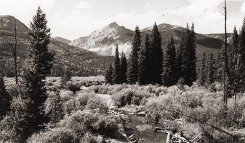
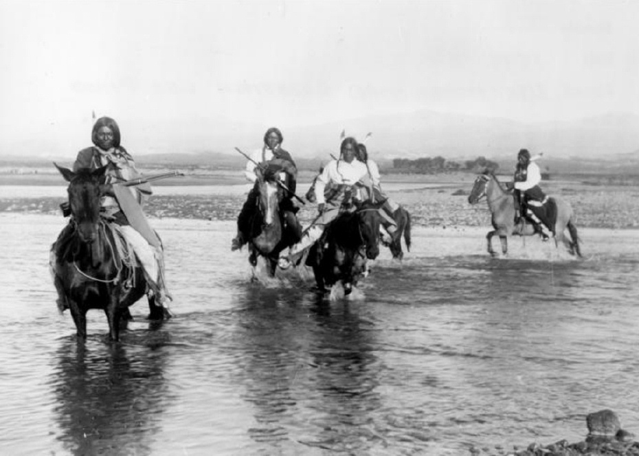
The County of Grand was established in 1874, taking its name from the Grand River which has its headwaters in the county, and from Grand Lake, the largest natural body of water in the state of Colorado. The county seat is Hot Sulphur Springs. The area of the county is 1854 sq. mi., making it larger than the state of Rhode Island.
Fraser was established in 1871 as the town of Eastom. Its name changed to Fraser, after the river that flows through the town, though it was originally spelled Frazier, for Reuben Frazier. The Post Office adopted the simpler spelling at the establishment of the Post Office. The town bore the distinction of being the "icebox of the nation" for many years, losing that title in a legal battle with a town in Minnesota.
Granby was established in 1904, taking its name from Granby Hillyer, a Denver attorney who may have been associated with the founding of the town.
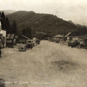
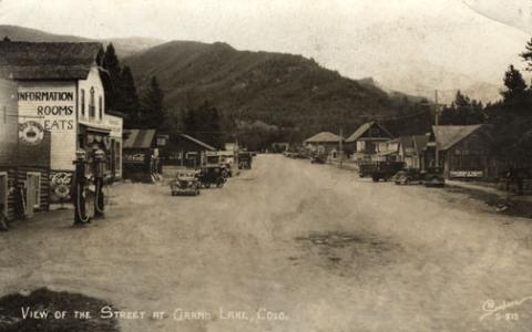
Grand Lake was established in 1881 as a mining settlement by the Grand Lake Town and Improvement Company, taking its name from Grand Lake.
Hideaway Park was established approximately 1905, and named for its hidden location with the trees screening it from the road. It may have been earlier known as Woodstock, Vasquez and Little Chicago. Max Kortz, owner of a dance hall in the village is said to have provided the moniker.
Hot Sulphur Springs was established in 1860 and named for the hot springs. It may have been refered to as Sulphur Springs in its earliest days, and as Sulphur by the workers and management of the Denver and Salt Lake Railroad when it came through in 1904.
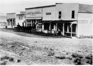
Kremmling was established in 1881 as a general merchandise store, owned by Kare Kremmling on the ranch of Dr. Harris, located on the north bank of the Muddy River. In 1888 John and Aaron Kinsey had part of their ranch platted, calling the site Kinsey City. Kremmling moved his store across the river to the new site; eventually the town came to be known as Kremmling. (Note the two different first names-Reuben Kremmling and Kare Kremmling. I'll keep working on that discrepancy.)
Radium's name was suggested by Harry S. Porter, prospector and miner, in reference to the radium content in one of his mines.
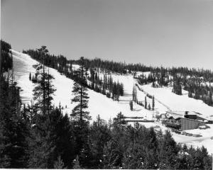
Winter Park was first known as West Portal, a settlement that grew up during the construction of the Moffat Tunnel in the 1920s. Postal authorities agreed to the name change to Winter Park, after a request was made by Denver mayor Benjamin F. Stapleton and many sport enthusiasts to publicize the establishment of a top winter sports area.
Berthoud Pass, el. 11314, was named for Capt. Edward L. Berthoud. Berthoud discovered the pass in 1861. He was also chief engineer on the Colorado Central Railroad.
Gore Pass, el. 9524, was named for Sir Charles Gore, who mounted a monumental "hunt" to the American West during the 1850s. Gore spent considerable time in the area, and gave his name to the Pass, a mountain range, and a canyon.
Milner Pass, el. 10759, was named for T.J. Milner, and accomplished civil engineer for railroads and street car lines.
Muddy Pass, el. 8772, bears the name of Big Muddy Creek, a tributary of the Colorado River, with reference to the muddy appearance of the waters during the spring runoff and storms.
Rabbit Ears Pass, el. 9426, refers to Rabbit Ears Peak, whose outcroppings somewhat resemble a rabbit's ears.
Willow Creek Pass, el 10850, is named for the stream, and almost certainly for the willow bushes that line the banks of the stream. The pass was a well known Indian trail, and became a road in the early 1900s.
Source: Eichler, George R. Colorado Place Names. Boulder: Johnson Publishing, 1977.


 ,
,