Article contributed by Corinne Lively
There were two Redwood Fishers, grandfather and grandson, who made significant contributions to the development of the Grand Lake area.
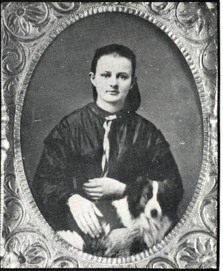
One of the earliest pioneers was the senior Redwood “Woody” Fisher, born in Urbana, IL in 1839. He learned surveying skills in New Jersey, and received a degree in Civil Engineering in New York City, where he met his future wife, Louise Perrenoud. He arrived in Denver in June 1860 and borrowed money to purchase his first surveying instruments. His bride to be, her two sisters and widowed father arrived in Denver in July 1862 in a mule drawn ambulance. They had traveled for six weeks from Omaha to deliver the vehicle which was used as an ambulance and hearse. The first marriage license in Denver was issued to Woody and Louise, and their wedding took place May 6, 1865.
The day after his marriage to Louise, Woody joined General Hughes and E.L. Berthoud as Chief Surveyor in building the wagon road from Denver to Provo, Utah over Berthoud Pass. The expedition followed a route laid out by Jim Bridger.
Woody held the offices of Denver city and county surveyor and county commissioner. He was foreman of Hook and Ladder Co. #1, and helped fight many Denver fires.
In May 1870, Woody was killed attempting to stop a runaway team of horses at the corner of California and 14th Streets. While trying to save the lives of several children, he fell and the wagon wheels ran over him. Woody left his wife with three children, Louise, Charles and Ella. He is buried in Riverside Cemetery.
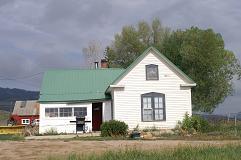
Redwood must have spoken in glowing terms about his time in Grand County since his son Charles, only two when his father was killed, spent most of his life near Grand Lake, built a summer home on the North Inlet below the Rapids Lodge, purchased 160 acres on the east side of the Colorado River from the Fred Selak estate. He died here in August 1945. Charles and his wife Sara had a son in May 1907, whom they named Redwood.
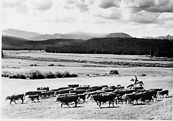
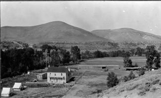
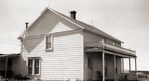
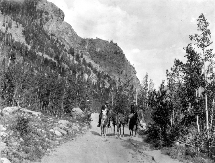
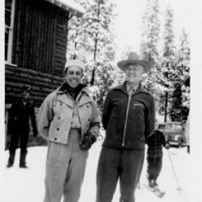
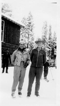
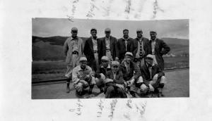
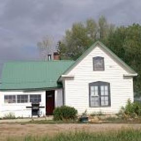
The junior Redwood “Red” Fisher also spent most of his life in the Grand Lake area. He was an early Park ranger and helped stock many of the high lakes on horseback. After his marriage to Helen Schultz in 1928 he started ranching below the present Shadow Mountain dam on land purchased from Mrs. Cairns. He later acquired the 7V/ on Stillwater Creek. He was President of the Colorado Dude Ranch Association in 1947 and traveled to conventions in Chicago and elsewhere promoting Colorado’s guest ranches with displays of fancy roping and riding. His own dude ranch, Fisherancho, was on the land below Shadow Mountain Dam and served guests until the 1950s. The barn still stands, and is now part of the Arapahoe Recreation Area.
Sources:
Lela McQueary, Widening Trails, World Press, 1962
Middle Park Times, August 12, 1945 and May 6, 1993
Colorado Families: A Territorial Heritage, CO Geneological Society, 1981
Brand Book, Middle Park Stock Growers Assn.
BLM General Land Office Records
Conversations with local decendant Toots Cherrington