Article contributed by Abbott Fay
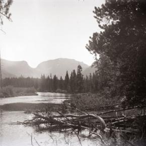
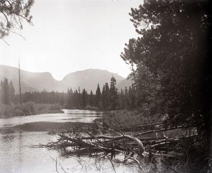
Postal routes into Middle Park were first offered for contract to the lowest bidders in 1875. A once a week route over Rollins Pass was bid at $693 per year but winter was so severe that the service stopped. The route from Georgetown to Hot Sulphur Springs over Berthoud Pass from July through October was more enduring.
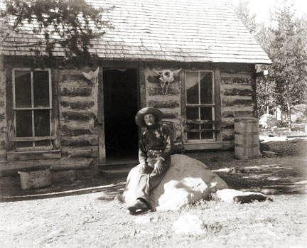
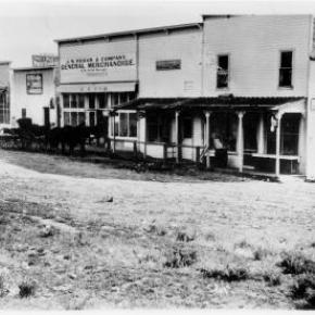
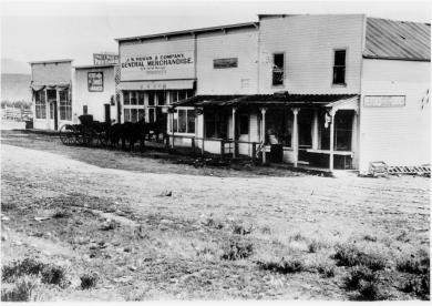
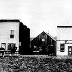
Later, postmaster appointments were recommended by congressmen, thereby making the the system more variable as political party power shifted at election time. The great advantage to having a post office was the opportunity to include a retail goods for sale, often in the living room of the postmaster's home.
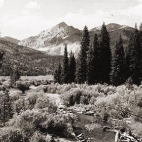
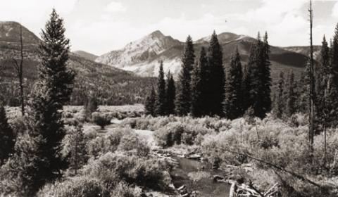
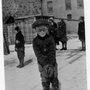
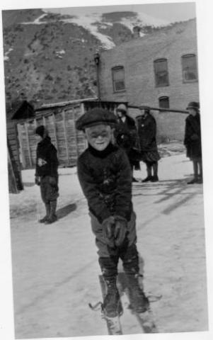
Post offices were located within 10 miles of the addresses they served. In those days, a 10 mile round trip would often take a full day of travel by horse or wagon. Many post offices were simply ranch homes, and there were frequent changes in location due to disabilities or political party changes.
Post offices were closed when there were too few recipients to justify the cost, often caused by consolidation of ranches or mine closures. As transportation became mechanized, there was no longer the need for a 10 mile radius maximum.
PO Opening Date First Postmaster
Hot Sulphur Springs Sept. 10, 1874 Thomas N. Francie
Fraser July 20, 1876 William Z. Cozens
Troublesome March 15, 1878 Henry King
(When Henry King died in 1879, his wife Albina replaced him. The Troublesome office was discontinued on April 19, 1935)
Red Mountain April 8, 1878 William D. Coberly
(Discontinued in September 1878)
Hermitage May 17, 1878 George Rand
(Intermittent service. Discontinued Jan. 10, 1884)
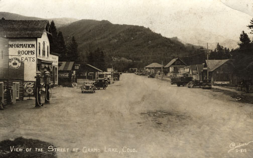
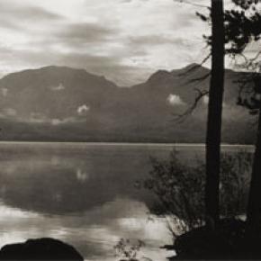
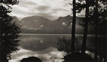
Grand Lake Jan. 10, 1879 John Baker
Twelve Mile June 1879 Daniel N. Ostrander
(Discontinued Aug. 5, 1880)
Lulu City July 20, 1880 D.W. Hassix
(Discontinued Nov. 26, 1883)
Gaskill Oct. 22, 1880 John K. Mowrey
(Discontinued Nov. 11, 1886)
Colorow May 24, 1882 Thomas E. Pharo
(Discontinued May 16, 1903)
Selak June 11, 1883 Frank J. Selak
(Discontinued Sept. 29, 1893)
Fairfax Jan. 14, 1884 John Barber
(Discontinued July 9, 1885)
Coulter Aug. 14, 1884 Fred Halkowiez
(Discontinued Sept. 20, 1905)
Kremmling Feb. 12, 1885 Rudolph Kremmling
Kinsey Oct. 24, 1891 Rudolph Kremmling
Crescent Feb. 14, 1887 Tracy C. Tyler
(Discontinued April 16, 1894)
Clarkson July 28, 1892 William M. Clark
(Discontinued Dec. 8, 1898)
Dexter Sept. 21, 1896 Milton G. McQueary
(Discontinued May 20, 1911)
Martin Aug. 24, 1898 Samuel Martin
Discontinued Nov. 3, 1934)
Scholl Nov. 27, 1901 Ole Langholm
(Discontinued Jan. 21, 1930)
Lohman March 31, 1903 Clyde N. King
(Name changed to Stillwater on Oct. 4, 1911. Discontinued Oct. 29, 1930)
Leal Sept. 17, 1904 Charles F. Barker
(Discontinued April 30, 1930)
Arrow March 21, 1905 William L. York
(Discontinued March 15, 1915)
Tabernash Sept. 30. 1905 Mary Knight
Granby Oct. 26, 1905 Agnes Whited
Radium Feb. 9, 1906 O.C. Mugrage
(Discontinued Dec. 6, 1963)
Parshall Nov. 17, 1906 G. Walter Dow
<