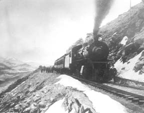
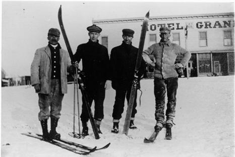
In Grand County during the 1920's, you might have been lucky enough to have taken a plane ride over Grand Lake with Charles Lindbergh. It may sound preposterous, but Gordon Spitzmiller and his father, Gus, were two of the many fortunate people who got private sightseeing tours over the Grand Lake area with Charles A. Lindbergh as tour guide.
In the early 1920's, the aviation industry was a brand new field open to the adventurers, the thrill seekers and the adventurous. Charles Lindbergh was one of those men. In the spring of 1926, Lindbergh had the dream of flying solo over the Atlantic Ocean, from New York to Paris nonstop. He was a determined man and was resolved to be the first man to cross the Atlantic and win the Orteig Prize.
On May 22, 1919, Raymond Orteig of New York City offered a prize of $25,000 "to be awarded to the first aviator who shall cross the Atlantic in a land or water aircraft (heavier-than-air) from Paris or the shores of France to New York, or from New York to Paris or the shores of France, without stop."
Besides Lindbergh, there were four serious contenders for the Orteig prize, one of which was Commander Richard Byrd, the first man to reach the South Pole. Lindbergh's courage and enthusiasm for such a flight were not enough; he needed financial backing. Lindbergh found his financial answer in Harry H. Knight, a young aviator who could usually be found bumming around the Lambert Field in St. Louis. This was the beginning of the Knight-Lindbergh partnership that would soon change the course of aviation history.
After being denied any financial assistance by several of St. Louis's businessmen, Lindbergh made an appointment with knight at his brokerage office. Knight, the president of the St. Louis Air Club, was fascinated with Lindbergh's plan and called his friend, Harold M. Bixby, president of the St. Louis Chamber of Commerce. Bixby also displayed a strong interest in the obscure stunt flyer and mail pilot. Together Knight and Bixby formed an organization called "the Spirit of St. Louis", which was dedicated to gathering funds for the flight. More than $10,000 was needed in order to build a single engine plane and acquire the proper equipment.
Knight went to his father, Harry F. Knight, who was a major power in the realm of finance and an equal partner in the firm Dysart, Gamble & Knight Brokerage Company. Like his son, the senior Knight was interested in the aviation field and backed every effort to make America conscious of airplane transportation.
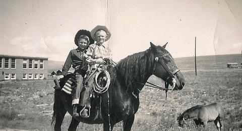
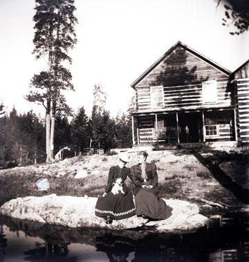
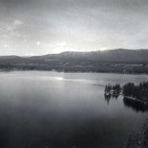
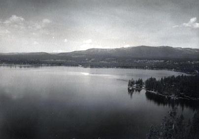
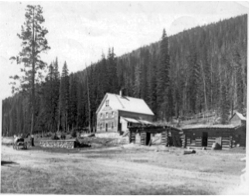
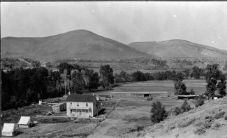
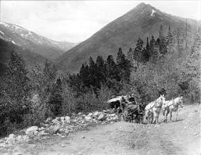
Without the financial aid and moral support offered by the Knight family, Charles Lindbergh may not have been able to cross the Atlantic in 1927. Lindbergh's gratitude to these two men never ebbed. Lindbergh and, his famous wife Ann Morrow, came often to Grand County as guests of Harry F. Knight whose ranch encompassed 1,500 acres on the South Fork of the Colorado River. The ranch today is covered by the waters of the Granby Reservoir.
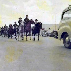
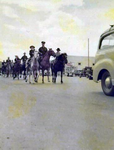
Knight, a nature lover, spent much of his time at this ranch. It was a haven for sportsmen and adventure seekers, and Lindbergh was a natural for these two categories. One of the largest and best airstrips in the west was added to the Knight Ranch in order to accommodate the owner and his guests. Besides the airstrip, the ranch boasted a miniature golf course, a 28 room estate, a private guest "cabin", a good selection of livestock and an array of entertainment that would suit all. It was a sanctuary for the affluent.
Local people were so enthused about the handsome aviator that they named a 12,000 ft. peak in the Indian Peaks Wilderness Area (east of Granby) "Lindbergh Peak". However, during the 1930's the hero was honored by Adolph Hitler and Lindbergh made a speech favoring Nazism. This lead to a fall from grace in the eyes of the public. Even though Lindbergh changed his mind as World War II began, it was too late to regain his former popularity. The peak was renamed "Lone Eagle Peak" which was a nickname for the famous aviator.
After Harry F. Knight died of coronary thrombosis in 1933, his son, along with ranch manager Harry Morris, turned the ranch into a major breeding and beef cattle operation. It continued as such until 1948, when the Knights were asked to sell it to the federal government or have it condemned to make way for the reservoir. Moss bought out the cattle operation and most of the buildings were sold, but the colorful memories of the Knight ranch were buried in the depths of Granby Reservoir.


 ,
,  ,
,