Article contributed by Abbott Fay
At the age of 17, Irving Hale was the first graduate of the Denver Hugh School in 1878. That summer, he and his younger brother decided to go to Grand Lake to catch trout with the plan to sell the fish in Central City and make a tidy profit.
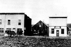
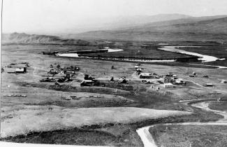
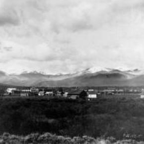
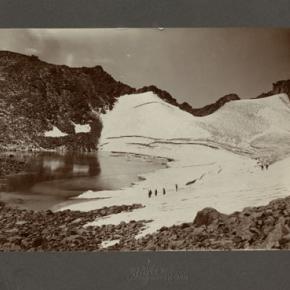
On July 5th, they camped atop of Berthoud Pass, building a "roaring fire to keep mosquitoes away". The next day, they reached Cozens Ranch (stage stop in what is now Winter Park) but their jackass, carrying much of their supplies, had wandered off. They feared that he had returned to Georgetown, where they had purchased him earlier in the week, but they found him grazing in a nearby pasture.
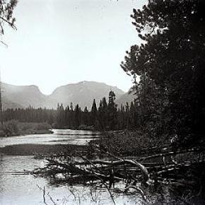
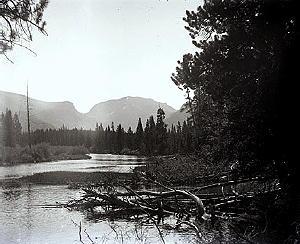
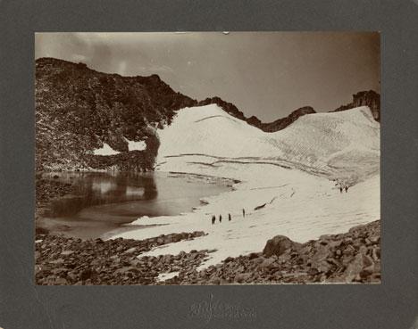
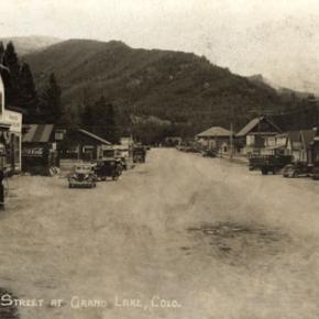
They almost drowned attempting to cross the Fraser River but finally found their way to Grand Lake on July 9th. There, they camped and fished and collected enough trout for their return trip to Central City. On the way back, the fish started to smell so they found some ice and started over the Continental Divide. They realized they wouldn't make much money so were happy to sell their rotting trout for 25 cents per 10 pounds. On July 25th they shot a deer and had a terrible time trying to skin it and cut up the meat. Discouraged, they finally returned home to Central City.
Irving Hale was given an appointment to West Point and during his career he rose to the rank of Brigadier General. He was given command of troops in combat in the Philippines following the Spanish-American War. As Colorado's first combat general, he retired to Denver in 1906, and published his experiences as a youth in "A Tramp Through Middle Park".
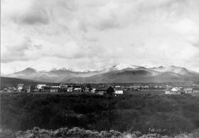
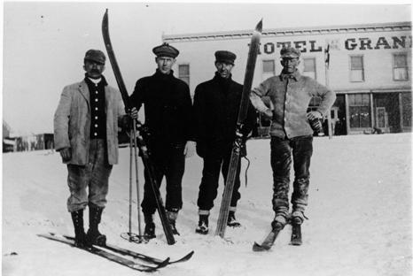
When the World War II cold weather camp was established near Leadville Colorado, it was named after Irving Hale. Many of the ski and mountaineering troops, the Tenth Mountain Division, became the founders of many of the modern ski areas of Colorado.
Sources:
Rocky Mountain News, April 15, 1888
Sons of Colorado, Vol. I, 3&, 1906
Fay, Abbott; A History of Skiing in Colorado; Ouray, CO; 2002